The Amatola Hike 2026: An Epic Eastern Cape Forest & Waterfall Trek
Event Date: 4 – 9 January 2026
Start: Maden Dam in King Williams Town
Finish: Hogsback
Duration: 100km over six days and five nights, 100kms – 4900m Ascent
Fitness: Not for the unfit; considered tough
Beauty: 4/5
Our tip: Take extra pairs of socks as there are numerous river crossings as well as extra warm clothing for cold nights
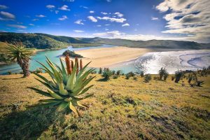
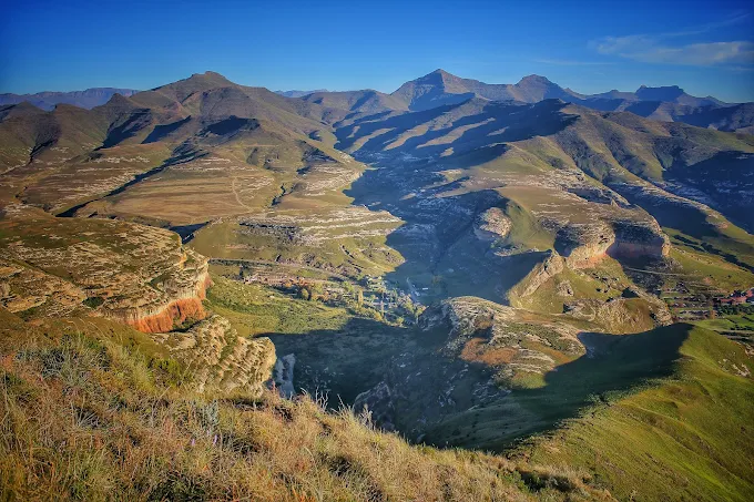
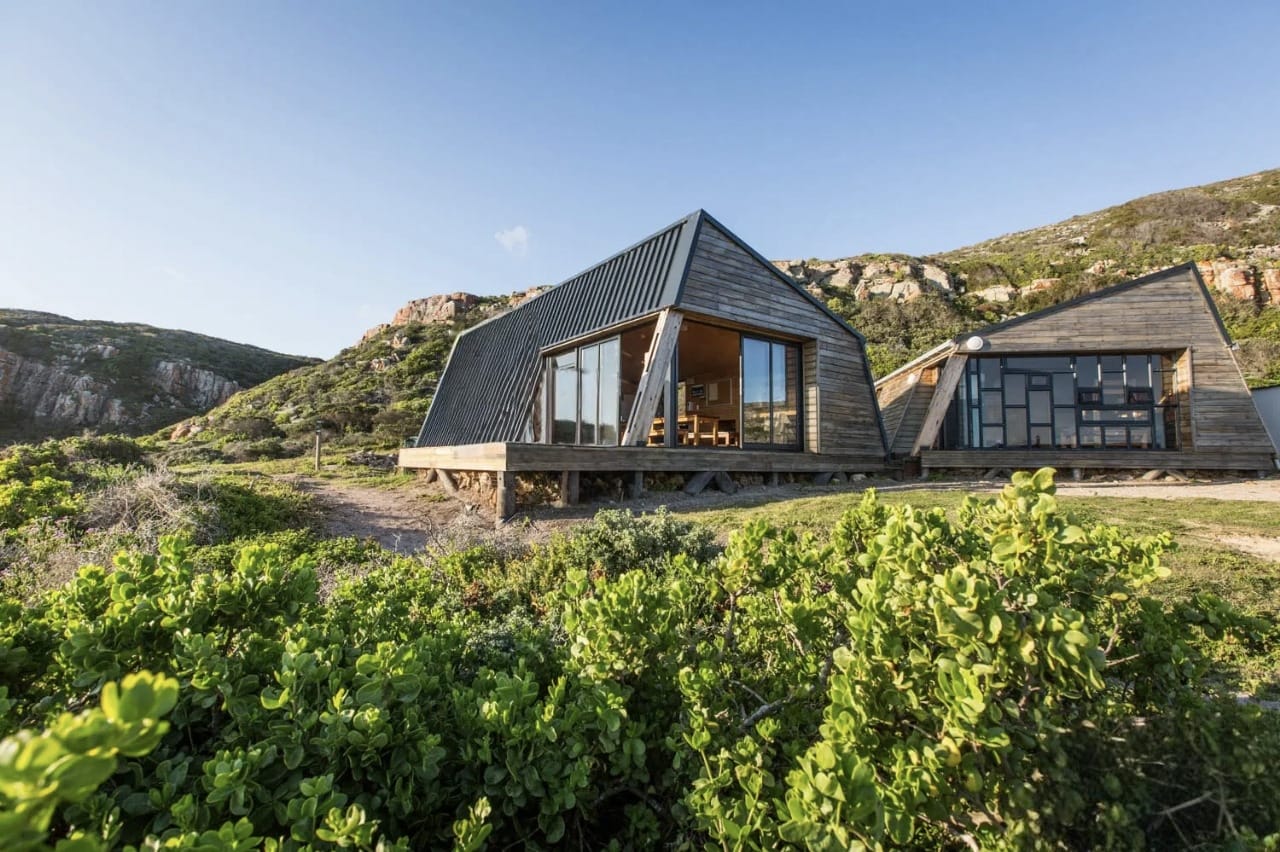
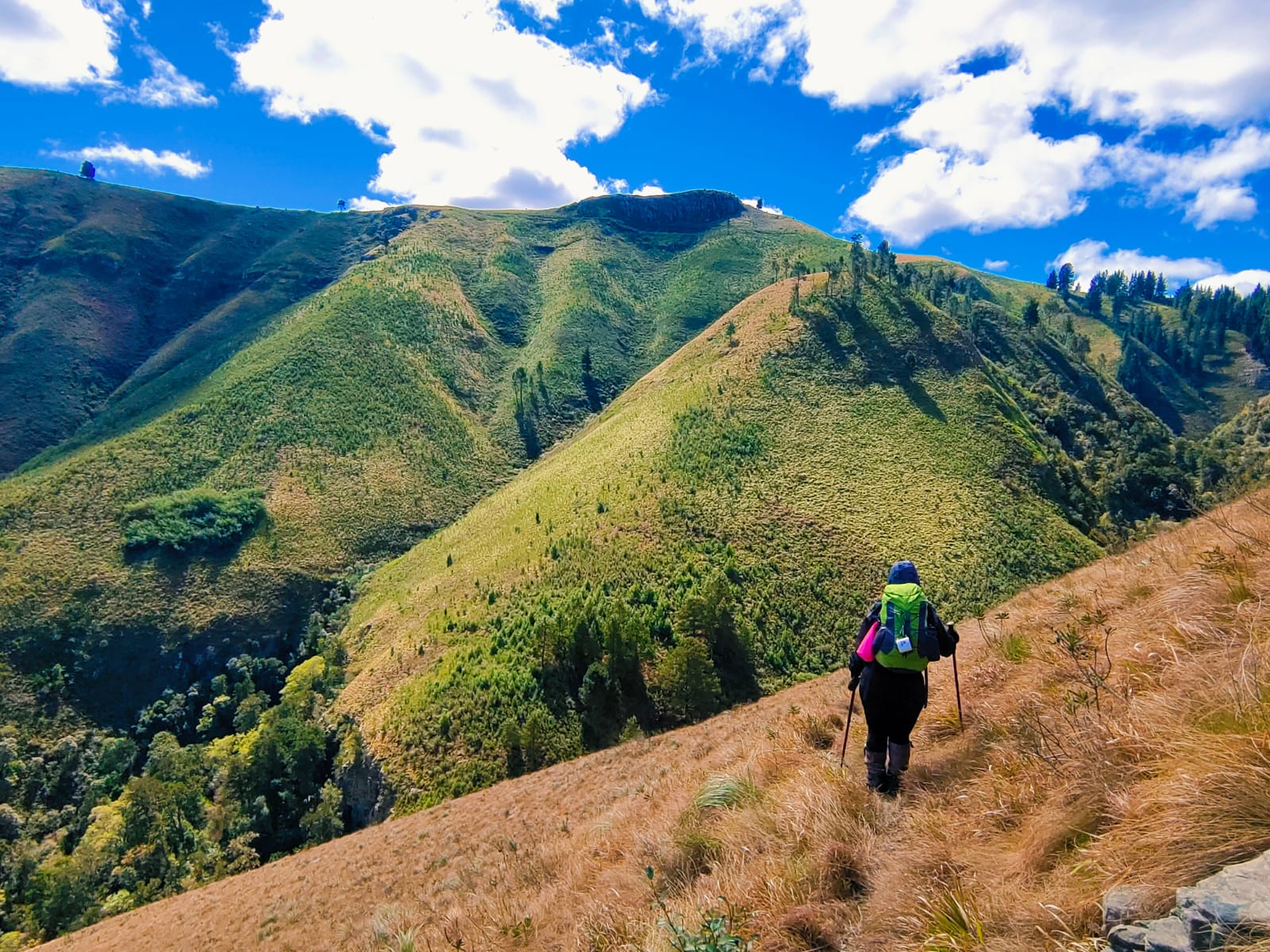
The Amatola Hiking Trail is considered one of South Africa’s top hikes. It is up there with the Otter Trail and the Whale Trail in terms of difficulty and popularity. The trail is set in the Amatola Mountains involving days of wandering rich indigenous rainforests complete with yellowwood and redwood trees, rolling mountains, mountain fynbos, wildflowers, and water – in the form of streams, waterfalls, and pools – in abundance. The average day’s hike is 16.5 km to 19 km, and your evenings are spent in rustic wooden huts – most of which are set in amongst the surrounding forest, with hot water donkeys to heat showers, and toilets that range from a long drop to flush. Weather in the mountains is variable throughout the year. All-weather clothing is essential as you can face anything from intense heat to freezing cold & rain.
Cost: R6500 pp
What’s Included:
- Professional and experienced hiking guide
- Pre-hike briefing and preparation tips
- Pre- and Post-hike accommodation (a night before and after at Away With The Fairies Nature Lodge)
- First aid kit and emergency support
- Detailed itinerary and map
- Park entry and conservation fees
- Accommodation in comfortable rustic mountain huts
- Transport from East London airport to Hogsback
- Transport to and from the trailhead (from pre-hike accommodation)
What’s Excluded:
- Personal hiking gear (backpack, hiking boots, clothing, sleeping bag etc.)
- Main meals (breakfast, lunch, and dinner)
- Travel insurance
- Luggage Transfer/Porterage
- Additional personal expenses
Why Join Us?
The Amatola Hiking Trail is renowned for its breathtaking scenery, diverse flora and fauna, and exhilarating challenges. With Adventure Junkies Africa, you’ll experience the beauty of this trail in the safest and most enjoyable way. Our experienced guides will ensure you have all the support you need to conquer the trail and create lasting memories.
![]() 𝙉𝙤𝙩𝙚: 𝙎𝙥𝙤𝙩𝙨 𝙖𝙧𝙚 𝙡𝙞𝙢𝙞𝙩𝙚𝙙 𝙖𝙣𝙙 𝙖𝙫𝙖𝙞𝙡𝙖𝙗𝙡𝙚 𝙩𝙤 𝙩𝙝𝙤𝙨𝙚 𝙬𝙝𝙤 𝙗𝙤𝙤𝙠 𝙖𝙣𝙙 𝙥𝙖𝙮 𝙛𝙞𝙧𝙨𝙩.
𝙉𝙤𝙩𝙚: 𝙎𝙥𝙤𝙩𝙨 𝙖𝙧𝙚 𝙡𝙞𝙢𝙞𝙩𝙚𝙙 𝙖𝙣𝙙 𝙖𝙫𝙖𝙞𝙡𝙖𝙗𝙡𝙚 𝙩𝙤 𝙩𝙝𝙤𝙨𝙚 𝙬𝙝𝙤 𝙗𝙤𝙤𝙠 𝙖𝙣𝙙 𝙥𝙖𝙮 𝙛𝙞𝙧𝙨𝙩.
𝐏𝐀𝐘𝐌𝐄𝐍𝐓 𝐈𝐒 𝐍𝐎𝐍-𝐑𝐄𝐅𝐔𝐍𝐃𝐀𝐁𝐋𝐄.
𝙔𝙤𝙪 𝙖𝙧𝙚 𝙚𝙡𝙞𝙜𝙞𝙗𝙡𝙚 𝙩𝙤 𝙨𝙬𝙖𝙥 𝙮𝙤𝙪𝙧 𝙨𝙥𝙤𝙩𝙨 𝙬𝙞𝙩𝙝 𝙖𝙣𝙤𝙩𝙝𝙚𝙧 𝒆𝒙𝒑𝒆𝒓𝒊𝒆𝒏𝒄𝒆𝒅/𝒇𝒊𝒕 𝙝𝙞𝙠𝙚𝙧.
The hike is scheduled for January 2025. The pre and post hike days are reserved for arrival and departure at and from Away With The Fairies Nature Lodge.
𝐓𝐫𝐚𝐢𝐥 𝐃𝐞𝐭𝐚𝐢𝐥𝐬
Day one: 11.9km, 763, Ascent Maden dam to Gwiligwili Hut (atop a hill with incredible views) is a steep climb through the indigenous Pirie forest, although there is a shortcut that can save you 5 km.
Day two: 19.14km, 633, Ascent to Dontsa hut (set in a pine plantation), a somewhat easier day through an indigenous forest with the Keiskammahoek valley below you.
Day three: 20.62km, 1024, Ascent to Cata Hut (modern with a gas-fired geyser) leaves the forest and climbs to the plateau. Walk in amongst wildflowers and macchia grasses, after which you can choose to climb Doornkop or enter the Hovald forest.
Day four: 14.56km, 634, Ascent to Mnyameni hut (the most isolated hut) – the easiest and shortest day with an initial climb up Geju peak with incredible views, followed by a descent into Mnyameni gorge and Malan forest.
Day five: 19.42km, 991, Ascent to Zingcuka hut – a tough day with a steep climb; optional swimming pools ease the walk, and dense forest shades the last few kilometers.
Day six: to Tyume River 16.2km, 855, Ascent a day peppered by waterfalls in the forest with a long ascent up Hog 1 and then down to the Tyume River basin.
[/vc_column_text][/vc_column][/vc_row]
Trail Map
At a glance
The Amatola Trail (six-days and five-nights, 100kms) is marketed as “The Toughest Hike in South Africa” and we think it lives up to the title. You must be fit and capable of hiking 20km+ / 10 hours a day, never knowing what Mother Nature might throw at you.

